• How do I
    • Access
      • Accessibility
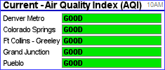
      • Air quality
      • Board agendas
      • Board meetings
      • Building permits
      • County calendar
      • Foreclosures
      • GIS maps
      • News releases
      • Property values
    • Apply for
      • Building permits
      • Child care assistance
      • Child Support
      • Public Assistance
      • Job openings
      • Liquor licenses
      • Marriage licenses
      • Retail food licenses
    • Get a copy of
      • Birth certificates
      • Death certificates
      • Marriage licenses
      • Land use applications
      • Procurement contracts
    • Pay for
      • Child support
      • Property taxes
    • Register
      • To foster/adopt
      • Vehicles
      • To vote
    • Report
      • Child abuse
      • Code violations
      • Welfare fraud
    • Request
      • Open records
    • Contact
      • Garfield County
  • Offices
    • Elected offices
      • Assessor
      • Board of County Commissioners
      • Clerk and Recorder
      • Coroner
      • District Attorney
      • Sheriff
      • Surveyor
      • Treasurer
      • Public Trustee
      • Elected officials
    • Departments
      • Administration
      • Airport
      • Attorney
      • Communications
      • Community Development
      • Courts
      • Criminal Justice
      • Emergency Management
      • Environmental Health
      • Fairgrounds & Events Center
      • Finance
      • Geographic Information System
    •  
      • Human Resources
      • Human Services
      • Information Technology
      • Landfill
      • Oil and Gas
      • Procurement
      • Public Health
      • Public Lands Access
      • Road and Bridge
      • Vegetation Management
      • Veteran Services
      • All locations
  • Towns
    • Carbondale
      • Town of Carbondale
      • Demographics
      • Map
    • Glenwood Springs
      • City of Glenwood Springs
      • Demographics
      • Map
    • New Castle
      • Town of New Castle
      • Demographics
      • Map
    • Parachute
      • Town of Parachute
      • Demographics
      • Map
    • Rifle
      • City of Rifle
      • Demographics
      • Map
    • Silt
      • Town of Silt
      • Demographics
      • Map
    • Battlement Mesa
      • Battlement Mesa community
      • Demographics
      • Map
    • Garfield County
      • About Garfield County
    • Community
      • Human Services Commission
      • Community agencies
  • Business
    • Business here
      • Building applications
      • Building inspections
      • Demographics
      • Economic Development
      • Parcel maps
      • Planning applications
      • Property search
      • Food safety
      • Useful Public Service
    • Licenses and permits
      • Building permits
      • Childcare licensing
      • Driveway permits
      • Liquor licenses
      • Overweight trucks
      • Utility permits
    • Taxes
      • Abstract of assessment
      • Pay property taxes
      • Property search
      • Taxing entities
  • Seniors
    • Long term care
    • Lunch menu
    • Nutrition program
    • Senior programs
    • Senior tax deferral
    • Senior tax exemptions
    • Veteran Services
  • Online
    • Apply for jobs
    • Explore live maps
    • Search foreclosures
    • Property search
    • Search property taxes
    • Search public records
Garfield County logo
Public lands access


G A R F I E L D    C O U N T Y,   C O L O R A D O

Public Lands Access

Public lands access

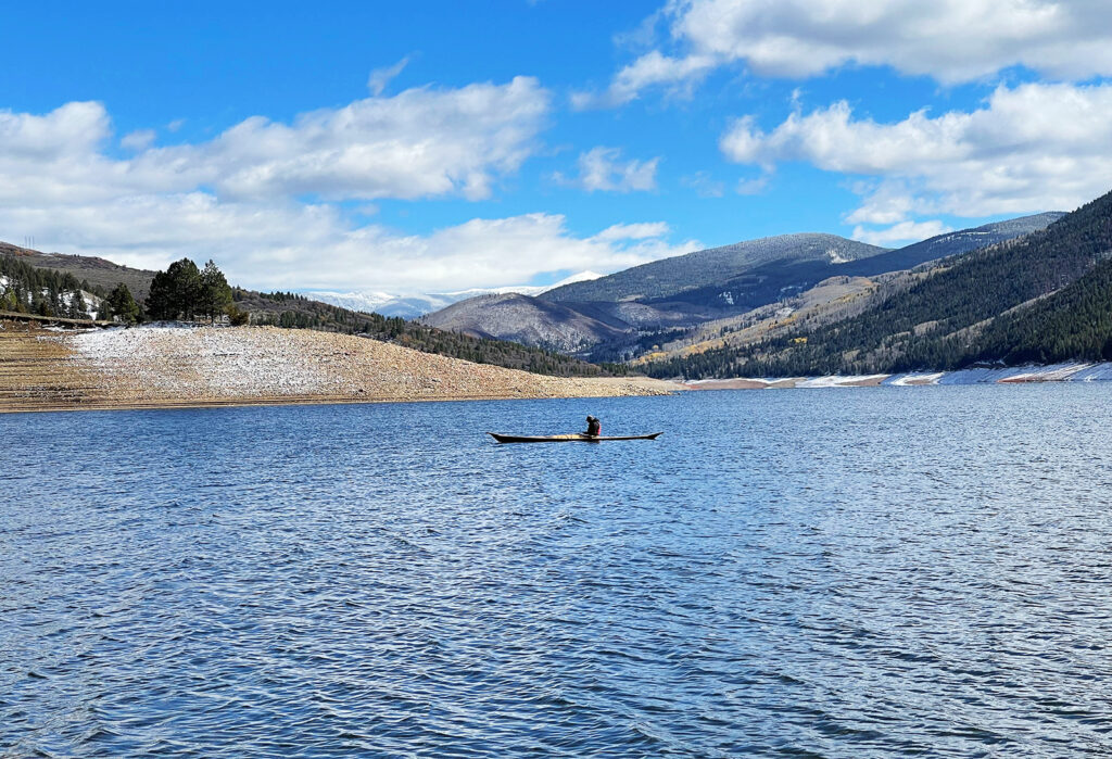
a group enjoying garfield county public lands

Garfield County historic routes maps

Historic routes play an important role in maintaining public access to public land (such as BLM land or National Forest land). In order to manage existing and potential road and trail easements accessing public land in Garfield County, the county relies in part on historic route maps.
historic routes

Proposed ordinance would open more county roads to OHVs

On October 13, 2016, the Board of County Commissioner adopted Ordinance 2016-01 which established a set of regulations that governed the use of off-highway vehicles (OHVs), as well as adopted a map that specifies what county roads in unincorporated Garfield County are open and closed to OHV use.

In a regular Board of County Commissioner work session on December 7, 2021, the Town of Silt  requested that the board amend the map to open a specified section of County Road 214 from Smith Doll Coal Mine Road westerly to the Town of Silt boundary connecting to N. 7th Street, County Road 228, and County Road 250 in order to facilitate direct access from the north part of the Town of Silt to the Silt Mesa Extensive Recreation Management Area, also known as “Squirrel Valley.”

The links below depict the current OHV Routes (Exhibit A), the proposed additional routes to be added (Exhibit B), and the proposed new and amended OHV Route Map (Exhibit C). The first reading of proposed Ordinance No. 2022-2 is scheduled for Monday, June 13, 2022 as part of the Board of County Commissioners’ agenda.

Exhibit A | Exhibit B | Exhibit C

Off-highway vehicle ordinance


  • Trappers Lake
  • Seasonal closures
  • Road to sawmill
  • Ore wagon
  • No Name bridge
  • Hillside trail
  • BLM access
  • Encana sign
  • East Elk Creek
  • Douglas Pass
  • Old Ute Trail
Garfield County federal lands:

Bureau of Land Management: 615,973 Acres
U.S. Forest Service: 515,865 Acres
Bureau of Reclamation: 2,335 Acres

Resources

OHV ordinance designates routes in Garfield County

Garfield County research identifies historic routes and public rights of way

Garfield County resolution regarding the preservation of historic routes granted by R.S. 2477

Pages
  • Garfield County
  • Public Lands Access
  • Community Development
  • Oil & Gas
  • Historic routes
  • GIS
  • Off-highway
    vehicles
  • Road & Bridge
Public lands access

Garfield County Public Lands Access


108 8th Street
Glenwood Springs, Colorado 81601
Map

© Garfield County | contact us | locations | privacy policy

Top photo by Ryan Mackley.
X