Boards and commission meetings
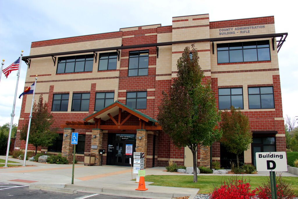
Motor vehicle system temporarily unavailable in Rifle
August 11, 2025
The State of Colorado’s motor vehicle system is down at the Garfield County Clerk and Recorder’s Office in Rifle due...
More info
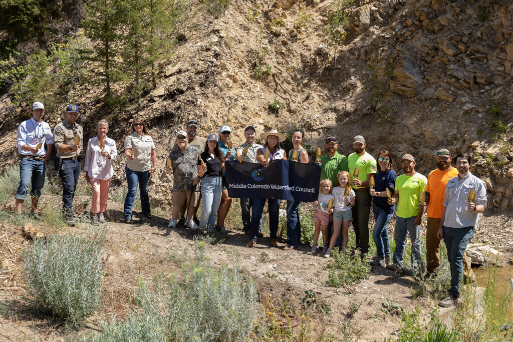
Roan Creek fish barrier project groundbreaking
August 6, 2025
The Middle Colorado Watershed Council (MCWC), in partnership with Garfield County and state and federal funders, broke ground on the...
More info
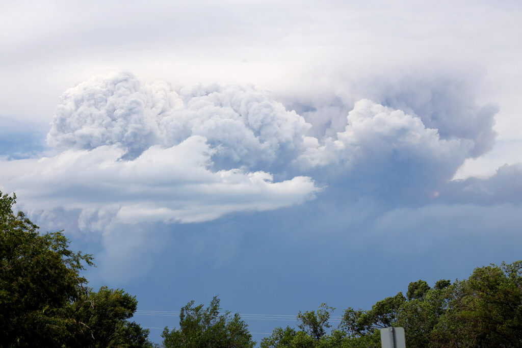
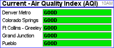
Wildfire smoke from the Lee Fire impacts Garfield County
August 9, 2025
The Lee Fire is producing smoke that is affecting air quality in Garfield County. Visit AirNow to determine if it’s...
More info
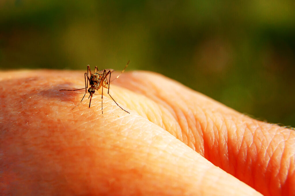
West Nile virus detected in Garfield County mosquitoes
August 6, 2025
Garfield County, especially the areas around Silt, Rifle, Battlement Mesa, and Parachute, is home to a type of mosquito that...
More info

Lee Fire official updates
August 12, 2025
Visit the Garfield County Emergency Operations Center for the latest official updates on the Lee Fire and its impacts. Register...
More info
Garfield County awards $23,000 in nonprofit grants
August 12, 2025
Garfield County has approved $23,000 in third-quarter nonprofit discretionary grants for five local nonprofits. The county allocated $120,000 for its...
More info
Garfield County emergency alerts