In June of 2011, the Colorado River was swollen to capacity with water from heavy winter snows and a long, wet spring. FEMA is modernizing its maps and updating them in digital format

FEMA floodplain map update - meeting June 20, 2012

PRESS RELEASE
June 11, 2012

Glenwood Springs, CO – Nearly 2,000 Garfield County residents have received a letter regarding modernized flood plain maps that the Federal Emergency Management Agency (FEMA) is creating for the Colorado River corridor and for mountain drainages which fill the river. The letters, sent by Garfield County Building and Planning Code Enforcement Officer Gale Carmoney, state that residents may see a change in the location of FEMA designated floodplain areas. The letters also invite landowners within floodplain or drainage areas to a June 20 meeting where FEMA will explain the proposed floodplain map upgrades.

FEMA is allowing a 90-day comment period, which began May 6 and continues until August 3, 2012. Representatives from FEMA posted public notices in the Post Independent and Citizen Telegram regarding the comment period.

People who own property that could be affected may make a formal appeal, but it must be based on technical or scientific data to show cause that their lands should not be in the floodplain. State licensed professional engineers or hydrologists may be good resources for necessary technical or scientific data.

Carmoney says while the differences between maps from decades ago and the proposed maps are not great in many instances, they do mean that some people will have to consider flood insurance on structures that previously didn’t qualify, while other properties may not be in a floodplain any longer.

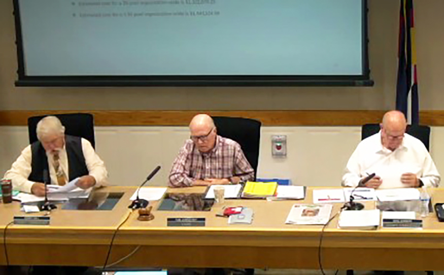
County, state and federal FEMA representatives will present information in Glenwood Springs at the June 20 open house on the mapping process and how to protect homes and property from flood damage. Residents in floodplain areas are encouraged to review the proposed maps, learn about flooding risks, and identify concerns or questions about their properties. The open house is Wednesday, June 20, from 6-8 pm at the Garfield County Administration Building, 108 8th Street, Glenwood Springs.

floodplain
The mapping process is considering drainages as being floodplain areas as well, not just riverways.

FEMA is updating its maps from extremely basic documents created decades ago to implement new Geographic Information Systems (GIS) digital maps that include layers, detailed topographical information, aerial photographs and river flow regions. The county reviewed approximately 3,000 data files on properties within its borders that are within FEMA floodplain areas, and with many owners having multiple properties, 1950 letters were sent to landowners. Several have contacted Garfield County with concerns about the meaning of the new mapping.

The mapping project includes the addition of lands along the Colorado River downstream of Glenwood Springs as well as updates to previously mapped areas based on more detailed studies. Areas that do have noticeable changes with an increased area in their floodplain boundaries include the Mitchell Creek area, Parachute Creek and parts of the residential areas south of the Colorado River at the New Castle Interstate 70 exit.

On the other hand, much of Rifle Village South was taken off the flood plain designated area. Old data led to about 90% of this subdivision being in the flood plain; now only half a dozen or so properties lie in the new boundaries. FEMA calculations showed the hydraulic capacity of Helmer Gulch draw was greater than previously calculated, and so reduced the floodplain boundaries.

The county has retained Chris Manera, a professional engineer with Colorado River Engineering, Inc., to review the FEMA preliminary studies, maps and supporting reports. Manera has indicated that as part of the appeal process a countywide overview is complete, and the county has submitted requests to FEMA to clarify supporting documentation and review mapping boundaries in areas where discrepancies with past analysis were noted.

If there are no significant appeals, FEMA will finalize maps for adoption on a schedule as shown below following the review period.
Begin 90-day appeal period – 5/3/2012
End of 90-day appeal period – 8/3/2012
30-day comment response for appeal period – 9/4/2012
Final community changes deadline – 9/5/2012
Final Data Submittal – 9/14/2012
Letter of Final Determination & Final Summary of Map Actions – 11/16/13
Mail Revalidation Letter – 5/2/2013
Effective Date – 5/16/2013

When changes to FEMA’s Flood Insurance Rate Maps (FIRMs) are met with conflicting technical and scientific data, an independent third-party review of the information may be needed to ensure the FIRMs are updated correctly. A Scientific Resolution Panel would serve as the independent third party.

For more information, please consider these resources:
Preliminary Flood Insurance Rate Maps (FIRMs)
FEMA maps that are currently in effect

Only landowners affected by the changes have received the letters and notice of the meeting. For questions related to the project, please contact Andy Schwaller at 970-945-8212.