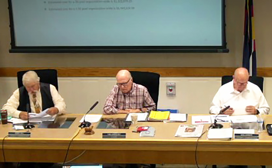
Boards and commission meetings
NEWS

Glenwood Springs hosting town hall on homelessness
The City of Glenwood Springs is hosting a virtual town hall webinar on homelessness via Zoom on Thursday, July 24, from 6-7 p.m. Officials will share information and take questions about law enforcement response, encampments, fire concerns, intervention efforts, and resources. Panel participants include Glenwood Springs City Manager Steve Boyd, City Chief of Public Safety Joseph Deras, Garfield County Sherriff Lou Vallario, and Ninth Judicial District Attorney Ben Sollars.
Homelessness town hall

Garfield County Fair presents Nitty Gritty Band Farewell Tour and David Nail August 8!
Nitty Gritty Dirt Band
The three-time GRAMMY Award-winning Nitty Gritty Dirt Band brings the All the Good Times: The Farewell Tour to the Garfield County Fair and Rodeo on Friday, August 8. Country music star David Nail gets things warmed up at the Garfield County Fairgrounds.
Formed in southern California in 1966, the Nitty Gritty Dirt Band relocated to Colorado in the early 1970s and was inducted into the Colorado Music Hall of Fame in 2015. With strong ties to the Western Slope and the Roaring Fork Valley, the band’s Rifle stop on the farewell tour takes its storied career full circle.
David Nail
GRAMMY-nominated multi-platinum singer/songwriter David Nail comes to Rifle hot off a busy touring year in 2024. His “pull no punches” style and reflective songwriting have earned Nail a legion of die-hard fans.
Come on out to the Garfield County Fairgrounds for an amazing evening of music on Aug. 8. Tickets are on sale now at garfieldcountyfair.com.

Third-party escrow service available in Colorado

Garfield County opposes mass sale of public lands

Garfield County enacts fireworks prohibition
Garfield County leases Ruedi water to CWCB

Garfield County weighs in on methane rulemaking
Garfield County implements temporary hiring freeze
Garfield County emergency alerts